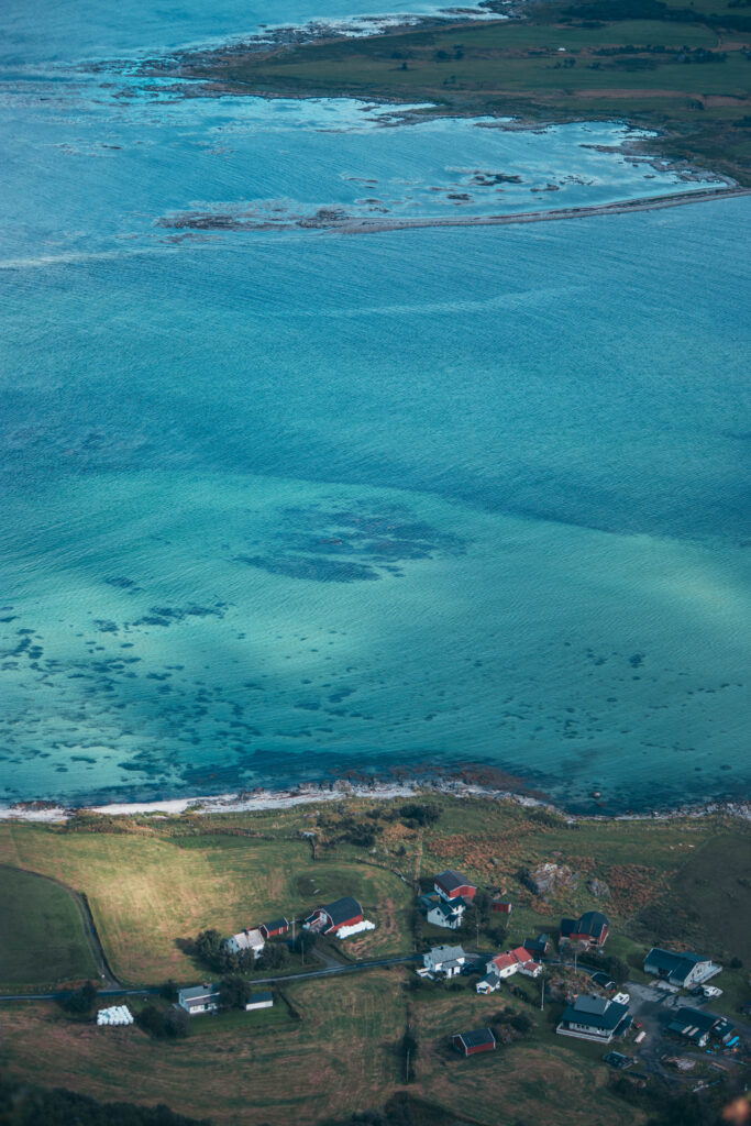
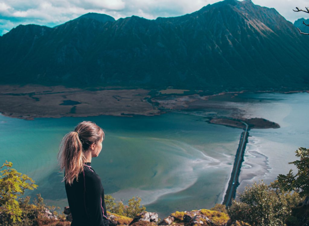
I remember being a kid watching movies, seeing amazing places with mountains, fjords and beautiful lanscapes thinking that it’s to beautiful to be real. For many years Lofoten was on my bucket-list and in september 2022 I finally had the chance of going, me and my friend planned a 8 day road trip through Lofoten and it did not disappoint.
Norway is one of my favourite countries when it comes to hiking and going on road trips, I always find myself amazed by the incredible landscapes. There are hikes for everyone, easy ones and more challenging ones and even the easier hikes gives you amazing views. Here I will show you 5 easy hikes that we did in Lofoten.
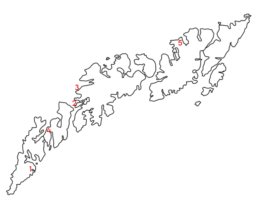
1. Reinebringen
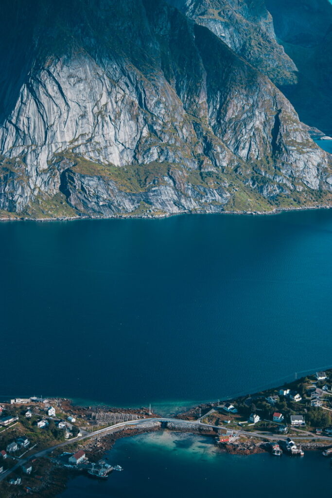
This is probably one of the most famous hikes in Lofoten and for good reason, the view at the top is spectacular. In 2016 Nepalese Sherpas began to construct a stone stairway up to the summit to make it safer. The stairway was finished in 2021 and consists of 1566 steps, I would say that the hike is physically demanding and very repetetive compared to a regular hike. It’s very rewarding when you get to the top!
If you get there by car there are a few parking spaces close by, the free ones are the Djupfjord viewpoint and a small parking space just when turning in to Reine before the bridge (limited to 4 hours). If they are full there are paid parking spaces in Reine.
Location: The trail is located west of the town Reine and the foot of the stairway is found at the west side of Ramsviktunnelen.
Height: 448 meters
Time: 45 minutes-1 hour hike to the top
2. Offersøykammen
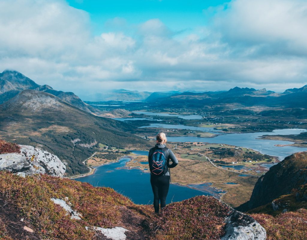
This hike is probably one of my favourite hikes because the sceneries at the top are beautiful and you will have a great view over the coast in Vestvågøy and the inlands. I found this hike quite easy with a small steady incline all the way and the trail wasn’t very crowded which was nice. Perfect if you want an easy and beautiful hike, be sure to bring some snacks and enjoy the views.
Location: The parking area is on Offersøyveien a parallel road to E-10 and the trail starts a few hundred meters away from the parking area.
Height: 436 meters
Time: 40 minutes-1 hour hike to the top
3. Mannen
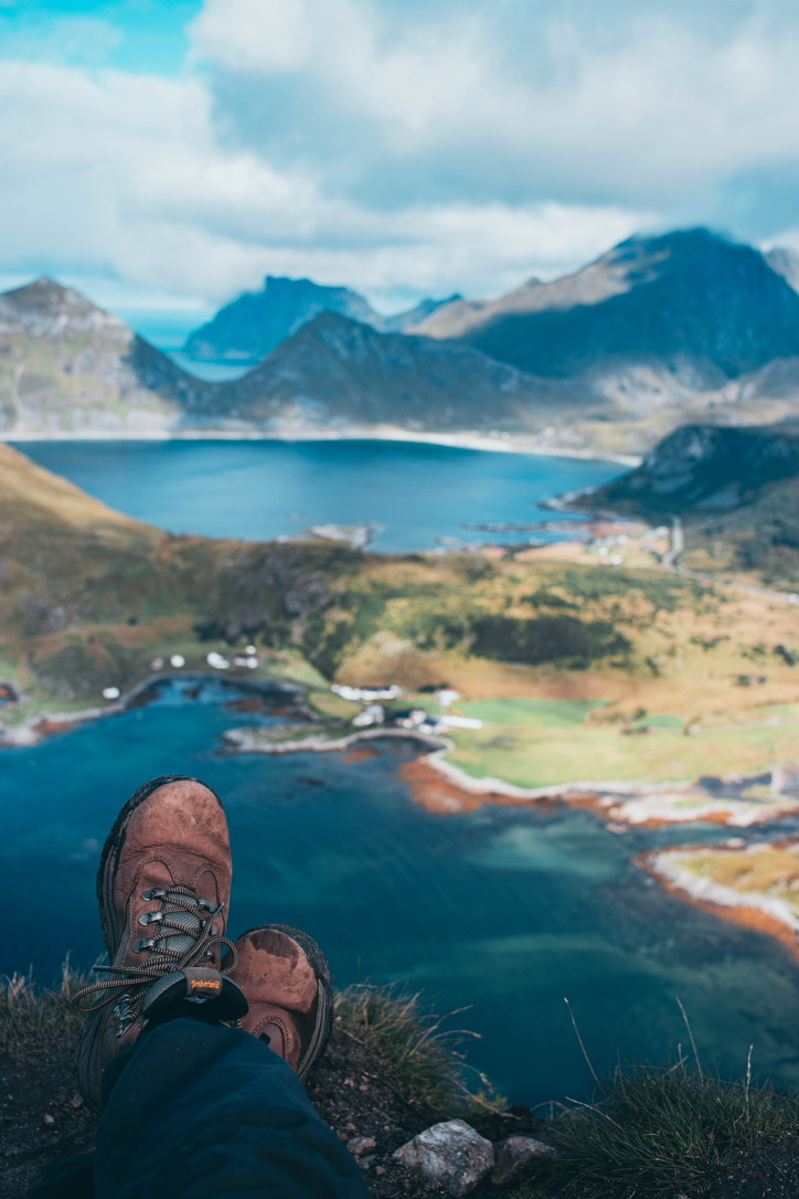
Mannen hike starts off easy, the trail might not be super clear but you have to leave the paved road (after about 600 meters) and hike upp the hillside. Once you’re up on the ridge the first part is easy and then it gets harder and steeper. Some parts are quite narrow, my best advice is just to take it slow and be careful because it gets pretty slippery.
Location: The trail starts next to Haukland beach and there is a parking lot just before the tunnel to Uttakleiv Beach. If you’re lucky there are a few small free parking spaces on the way to the trail if you don’t mind walking a bit further.
Height: 400 meters
Time: 1 hour-1 1/2 hours hike to the top
4. Volandstinden
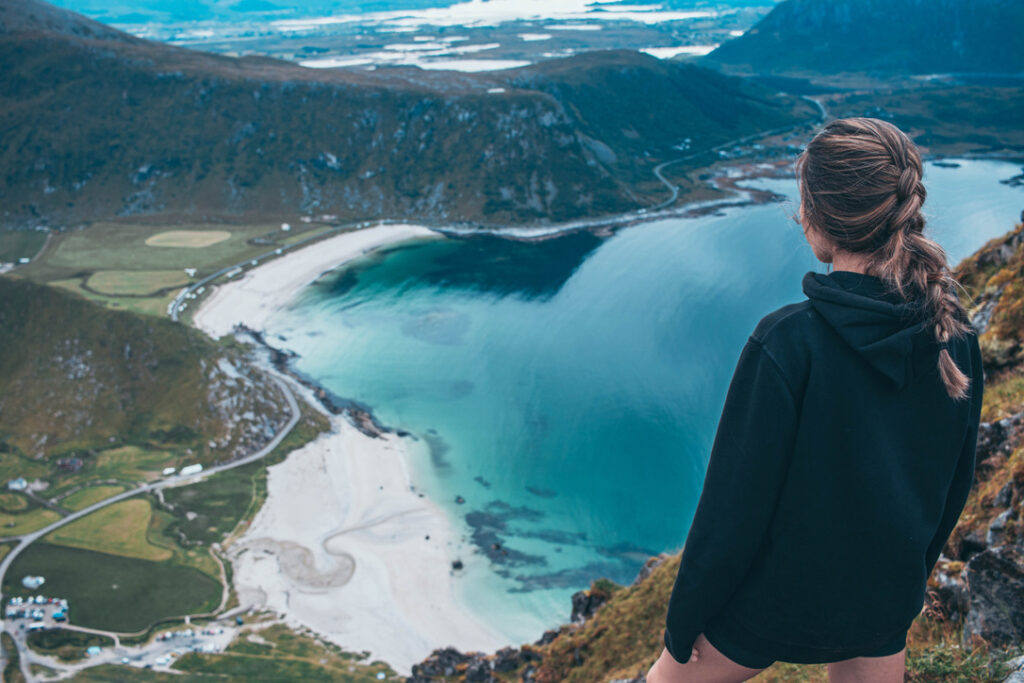
This hike is a bit longer than the ones above but it’s a really enjoyable hike, the trail is pretty easy to find but can get really muddy if it’s been raining. The first part of the trail has a slow and steady incline, the nature is barren and behind you, you have Skjelfjord. The first part of the trail takes you up and to the back of the mountain, this part is a bit flatter and then the trail gets steeper up to the first view point. Be aware that this part includes climbing on rocks. At the first view point you will have a nice over Flakstadøya
The second viewpoint is a bit further, you have to walk down and then climb up to the peak. Be sure to check your steps because it gets pretty steep, but it’s definitely wort it when you get to the top. You will have a nice view over the Fredvang bridge and Yttersand.
Location: The location can be a bit tricky to find but the trail starts in Skelfjord, from E10 you turn south into Skelfjord. When you approach the small village you will se an orange building with a parking area, they charge a small fee to park there. We found a small parking pocket close by that was free.
Height: 457 meters
Time: About 1 hour 30 min – 2 hours
5. Delp
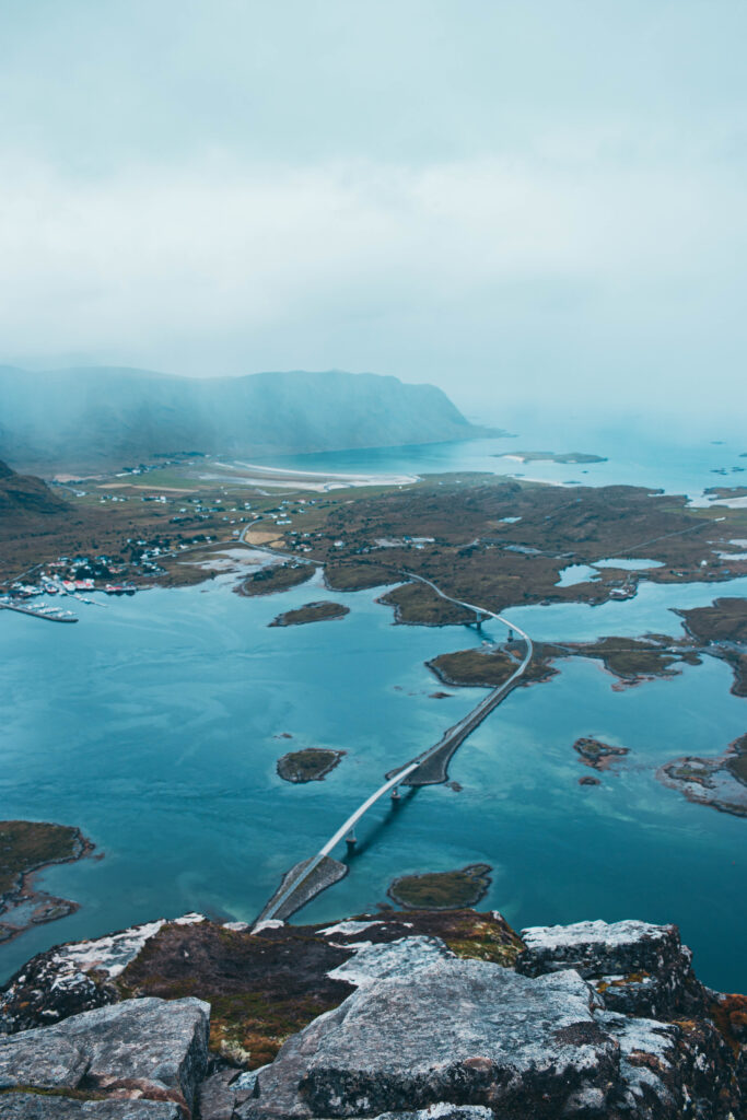
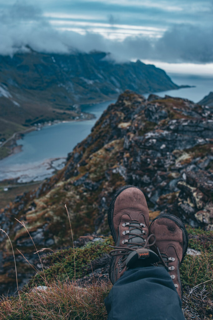
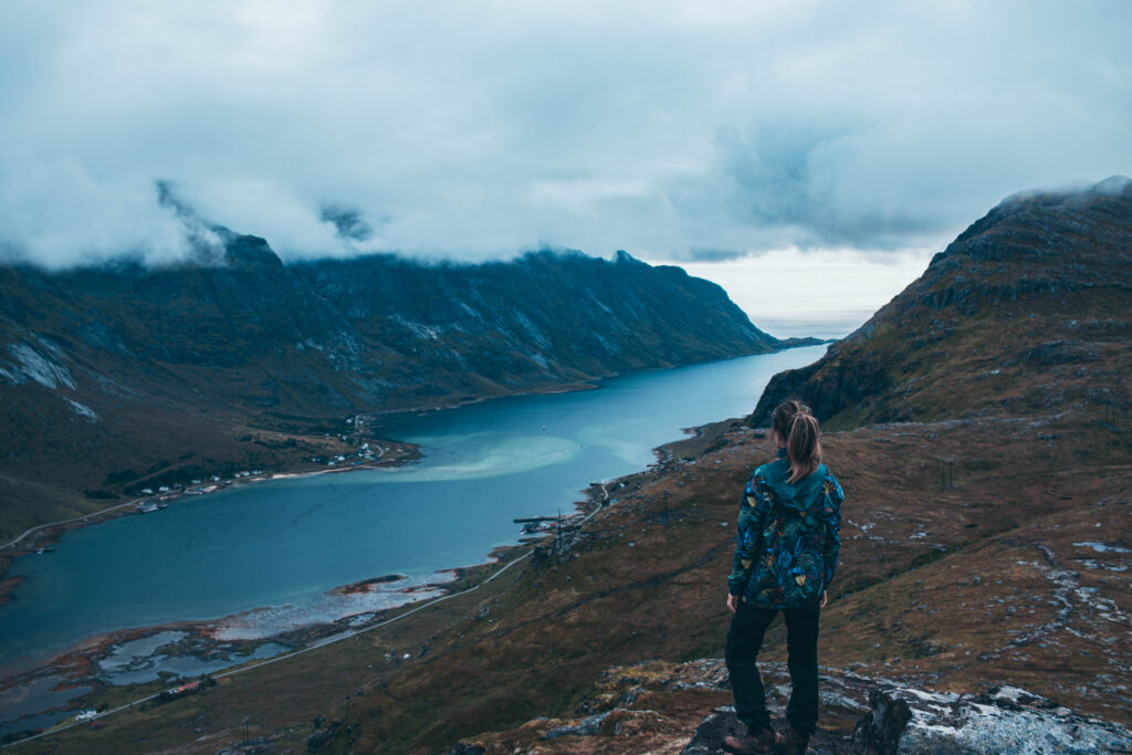
This is a short hike but don’t be fooled the start of the hike is quite steep and has a steady incline. The trail is quite easy to find and follow through the woods. At around 300 meters elevation the vegetation becomes barren and you’ll find yourself on a flat plateau
Here you’ll have a nice view over Grunnsfjord and the long bridge, depending on the weather the water will change colour.
Location: The hike is part of the Matmora hike and starts at the same place, parking area is just outside Delp.
Height: about 340 meters
Time: 45 minutes- 1 hour
